Brazil - Geographical Disease Risk Index
- Malaria
-
Risk Category B
Risk Category explanation
A: Countries where the malarial risk is present in the whole country all year or with very clear seasonal guidance.
B: Countries where only parts of the country are affected.
C: Only part of the country is affected in discrete pockets, or the risk of infection is low, or that there are few visitors to the affected areas. It is likely that tourists who visit these countries will be able to donate but individual assessment must be applied. Donors are likely to have detailed knowledge of the malarial areas visited. Healthcare professionals should establish whether the donor sought advice prior to travel and if they were advised to take anti-malarial precautions.
All year in the states of:
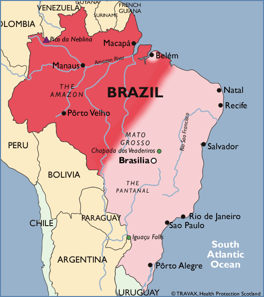
Amazonia (Acre, Amapa, Amazonas, Maranhäo (west)), Mato Grosso (north), Para (except Belem City on the coast), Rondônia, Roraima and Tocantins including the urban areas Porto Velho, Boa Vista, Cruzeiro do sol, Rio Branco, Macapa, Manaus, Santarém and Maraba.
All year on cruises up the Amazon including the city of Manaus.
All year in the jungle and rural areas outside the resort Iguaçu Falls especially towards Paraguay.
Previous Malaria Risk
- Until February 1996: all year in whole country.
- Until September 2006: all year in rural areas below 900m.
- Trypanosoma Cruzi
-
Risk
- West Nile Virus
-
No Risk
- Viral haemorrhagic fever
-
No Risk
- Tropical viruses
-
Risk
- Chikungunya Virus
- Dengue Virus
- Yellow Fever Virus
- Zika Virus
- Additional Information
-
For the Israeli city of Acre, see Israel.
Malaria Map
Using the map
This map is only intended as a guide and is not exact. The map must always be used in conjunction with the Malaria guidance text above. Sourced from https://travelhealthpro.org.uk/
- Version details:
GDRI Edition 002 Release 33 (26 April 2022)